
I provide the spatial strategy that helps local governments and industry associations navigate the complexities of park management and outdoor policy.
Technical Specialties:
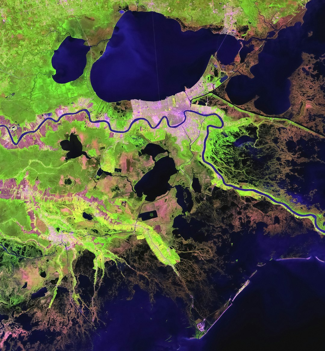
I bridge the gap between human recreation and biological conservation. I provide the spatial data needed to find the 'middle ground' where access and environment coexist. My work turns complex environmental concerns into clear, defensible spatial narratives for advocacy, public policy, and code compliance.
Technical Specialties:
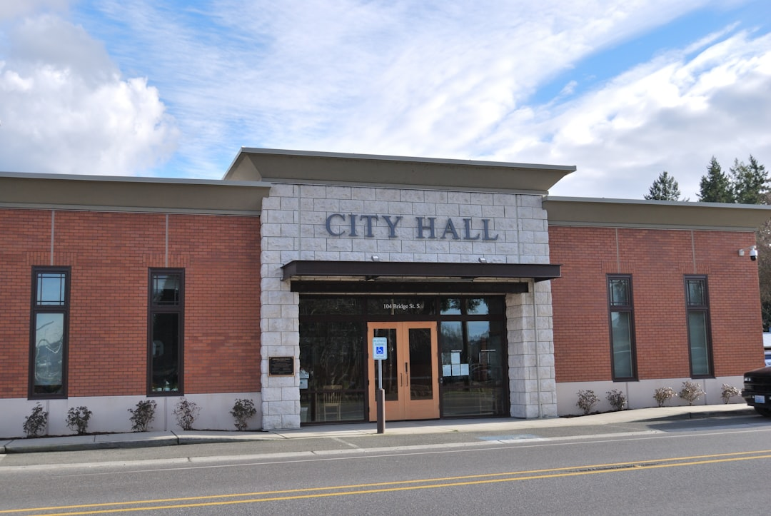
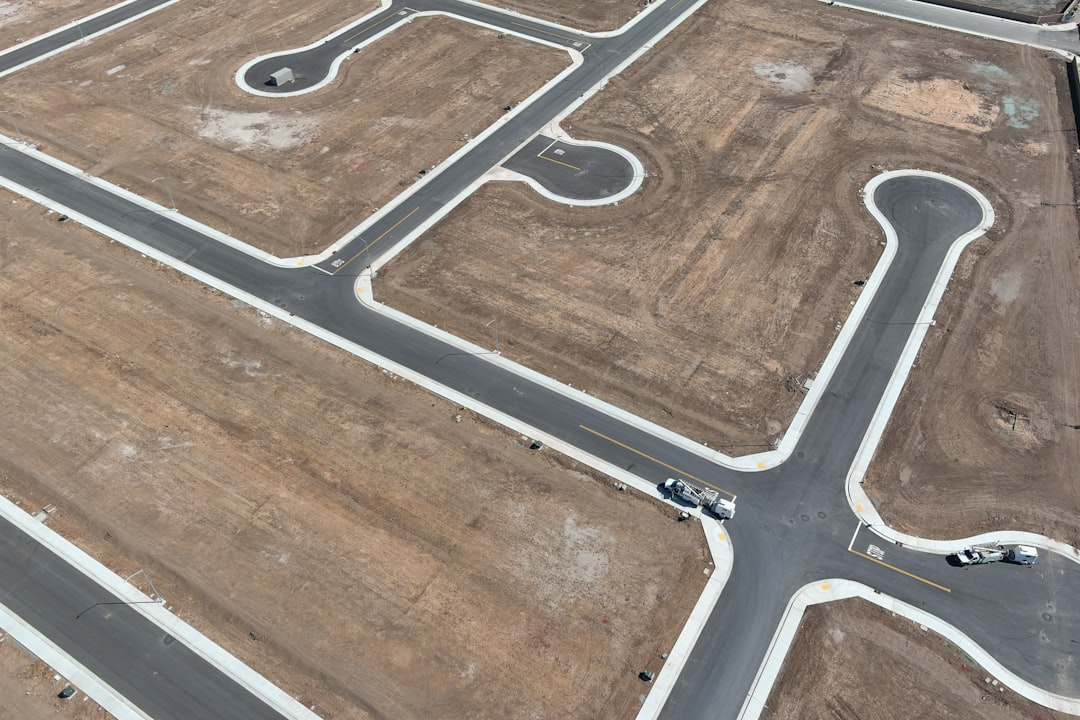
I provide specialized GIS support for development projects of all sizes, translating complex site data into clear, defensible spatial strategies. My work ensures that both developers and the public have a shared understanding of the "Ground Truth" before and throughout the entitlements process.
Technical Specialties:

Maps designed by a trail steward and race director who understands the logistical demands of the ground.
Technical Specialties:
Sustainable Trail Alignment: Using GIS to design routes that minimize erosion and maintenance while maximizing user experience.
Logistical Overlays: Integrating emergency access points, communication dead zones, and medical facility proximity into event-day spatial plans.
Software: ArcGIS Pro, ArcGIS Online, ESRI StoryMaps.
Analysis: Spatial Statistics, Geodatabase Management.
Credentials: Graduate GIS Certificate (University of Washington), VUM Certified (SORP/NPS), Risk Management Certified (Viristar)